Three cities ship in the current build. Every scenario names its map (for example stage4-replan@londone), and the same difficulty stage plays differently on each street network.
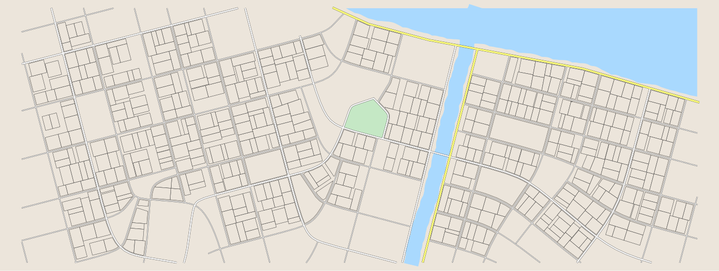
Londone (70 blocks, 508 lots). A compact river town of crooked lanes, where the Old Harbour Market and the riverside school sit minutes from everything else. Small enough that any truck can reach any fire quickly - the challenge is choosing which fire, not getting there.
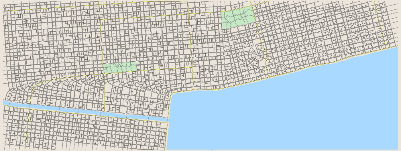
Feeladelphia (1,527 blocks, 3,686 lots). A relentless waterfront grid running from the Schuylkill-side mills to the Delaware wharves - by far the largest map. Distance is the enemy here: a truck committed to the wrong end of town pays for it in ticks.
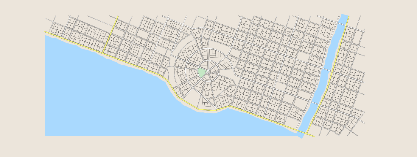
Stockhome (166 blocks, 893 lots). A harbour city wrapped around its bay: ring streets circle the old town, quays line the shore, and a canal splits the eastern districts. The coastal road funnels cross-town traffic, so simultaneous fires on opposite shores stretch a small fleet.